Terceira Geography: Volcanoes, Landscape & Travel Guide
Four volcanic complexes on the Terceira Rift
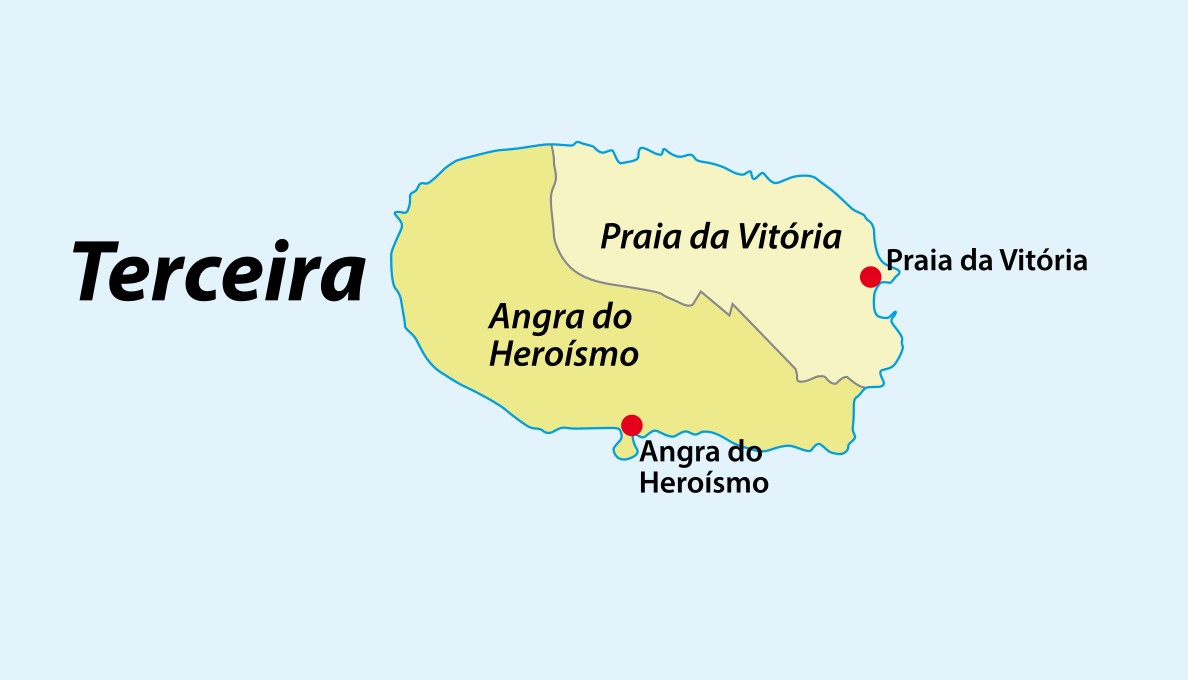
Terceira Geography: Volcanoes, Map and Regions
Terceira is a compact volcanic island built by overlapping systems along the active Terceira Rift, with high wet western terrain, an open agricultural east, lava caves, fumaroles and a ring of coastal settlement.
Island facts
Size, Population and Physical Form

Volcanic structure
Cinco Picos, Guilherme Moniz, Pico Alto and Santa Bárbara
Cinco Picos
The oldest of the four principal complexes is commonly dated to roughly 300,000 years ago. Its broad eastern caldera now carries the agricultural field mosaic seen from Serra do Cume.
Guilherme Moniz
A large central caldera and associated volcanic products help organize the island’s interior landscape. The legacy guide described the depression as spanning nearly 15 kilometers.
Pico Alto
Lava domes, forests and rugged high terrain occupy the north-central interior and connect with important native habitat.
Santa Bárbara
The western stratovolcano reaches 1,021 meters, forming Terceira’s high point and its wettest, cloudiest terrain.
Terceira Rift
Regional faults and volcanic activity belong to a complex tectonic setting near the interaction of major plate boundaries.
Monte Brasil
A coastal tuff cone rises beside Angra and creates the sheltered bay that helped the city become an important Atlantic port.
Inside the volcanoes
Caves, Fumaroles and Young Lava
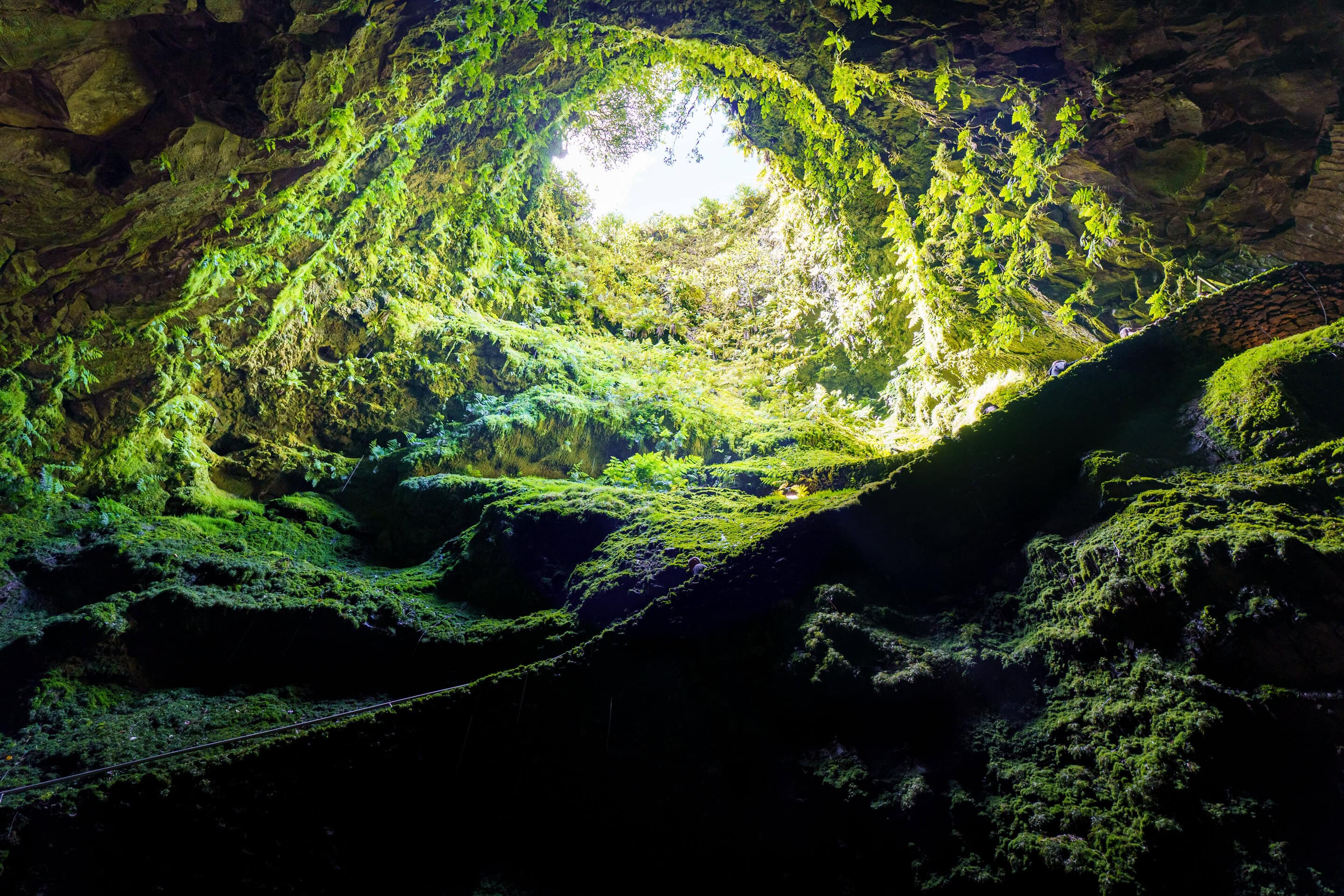
Algar do Carvão exposes a volcanic chimney around 90 to 100 meters deep. Formed roughly 3,200 years ago, it has a remarkable open interior, silica stalactites and stalagmite-like deposits, and a seasonal underground lake. It is often described as a rare place where visitors can enter deeply into the structure of an ancient volcano, but it should not be mislabeled as an ordinary horizontal lava tube.
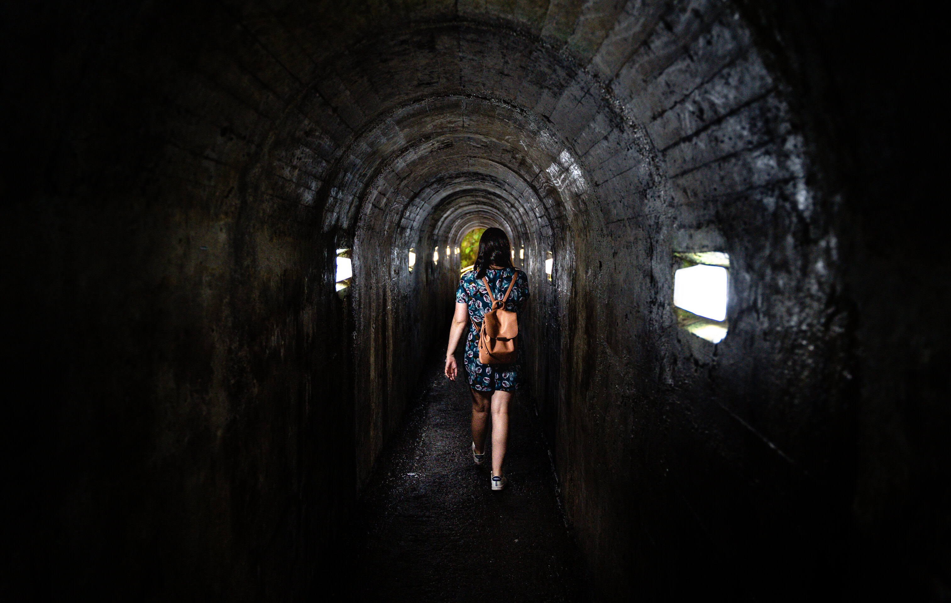
Gruta do Natal is a roughly 697-meter lava tube shaped by basaltic flows; its association with Christmas includes a Mass celebrated there in 1969. Furnas do Enxofre is a surface fumarolic field where steam and sulfur gases escape through warm ground. Mistério dos Negros and Mistério da Praia preserve dark young lava landscapes created by later eruptions along the northern part of the island. These sites are distinct geological features, not interchangeable “caves.”
Water, habitats and climate
Lagoons, Native Forest and East-West Contrast
Lagoa das Patas
A small forest lagoon and recreation area in the west provides wetland habitat and a sheltered picnic stop.
Lagoa do Negro
This interior lake sits near Gruta do Natal and the starting area for the Mistérios Negros trail.
Santa Bárbara and Mistérios Negros reserve
Protected high terrain preserves native laurel forest, endemic plants, volcanic landforms and sensitive habitat. Marked routes allow access without treating the reserve as unrestricted ground.
Western Terceira
Prevailing Atlantic weather and elevation make the west greener, wetter and more heavily forested. Native plants include Azorean laurel, Laurus azorica, and Azorean heather, Erica azorica.
Eastern Terceira
The east is lower, drier and more open, with fewer trees, extensive agricultural fields and broad views around Cinco Picos and the plains of Achada.
Coastal ring
Most towns and villages occupy lower land around the island edge, linked by the regional road network.
Read the landscape
Practical Geography Tips
Do not trust one weather view
Cloud on Santa Bárbara or Pico Alto may coexist with sunshine on the east or south coast.
Use elevation in planning
Interior stops are cooler, wetter and windier than Angra or Praia da Vitória.
Stay on marked routes
Native forest, geothermal ground and young lava are fragile or hazardous away from designated access.
Protect the full map
Use the complete uncropped map when planning the two municipalities and circular road system.
Expect livestock and stone walls
The patchwork fields are working agricultural landscapes; drive slowly and do not enter private land.
Combine geology with history
Monte Brasil and Angra show how volcanic form directly shaped settlement, defense and Atlantic trade.
Use the landscape in your trip
Terceira Geography Travel Links
Self-drive Terceira
A six-night hotel-and-car package works well for the island’s circular road network and dispersed geological stops.
Multi-island guided tours
Compare multi-island private guided itineraries when you want Terceira’s geology interpreted alongside other islands.
Active holiday packages
Browse active Azores packages for itineraries organized around hiking and outdoor landscapes.
Questions travelers ask
Terceira Geography FAQ
How big is Terceira Island?
Terceira covers about 401.9 square kilometers and measures roughly 30.1 by 17.6 kilometers.
What is the highest point?
Serra de Santa Bárbara reaches about 1,021 meters in the wetter western half of the island.
Is Terceira still volcanically active?
Terceira belongs to an active volcanic and tectonic region. Furnas do Enxofre and the island’s young lava fields make that continuing geologic setting visible.
How many volcanoes formed Terceira?
The island is commonly described through four main overlapping volcanic complexes: Cinco Picos, Guilherme Moniz, Pico Alto and Santa Bárbara.
Why is western Terceira greener?
Higher terrain and prevailing Atlantic weather bring more cloud and precipitation to the west than to the lower, more open east.
Build a practical island stay
Plan Your Terceira Vacation
Azores.com can coordinate lodging, transportation, guided experiences and enough flexibility for Terceira’s changing Atlantic conditions.