How big is Flores Island, Azores and other geography curiosities
Flores Island, one of the most remote and beautiful islands in the Azores archipelago, is often called a “floating garden” due to its lush landscapes and abundant flora. With an area of 55 square miles (143.11 km²), Flores is the fourth smallest of the nine Azorean islands. Its striking volcanic terrain, deep valleys, towering peaks, and numerous lakes make it a paradise for nature lovers and geologists alike.
Where is Flores Island, Azores? And what is its population?
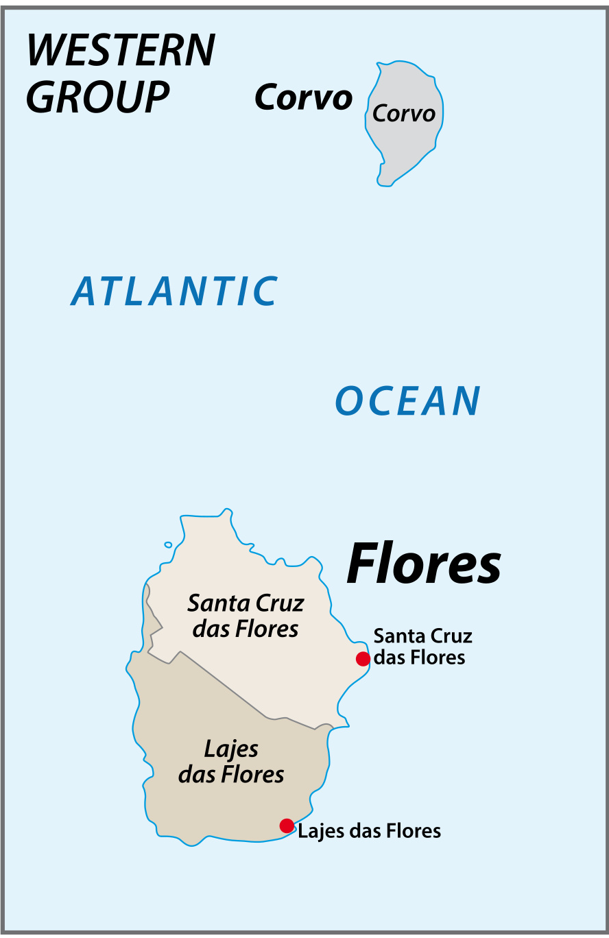
Flores Island lies in the North Atlantic Ocean, situated at 31º 59′ west longitude and 39º 25′ north latitude. The island is part of the western group of the Azores, along with Corvo, and is located on the North American tectonic plate, unlike the other Azorean islands, which sit on the Eurasian plate.
The island stretches 11 miles (17 km) from north to south and is about 7 miles (12.5 km) at its widest point. Despite its relatively small size, Flores is home to approximately 3,400 residents, mainly concentrated in the towns of Santa Cruz das Flores and Lajes das Flores.
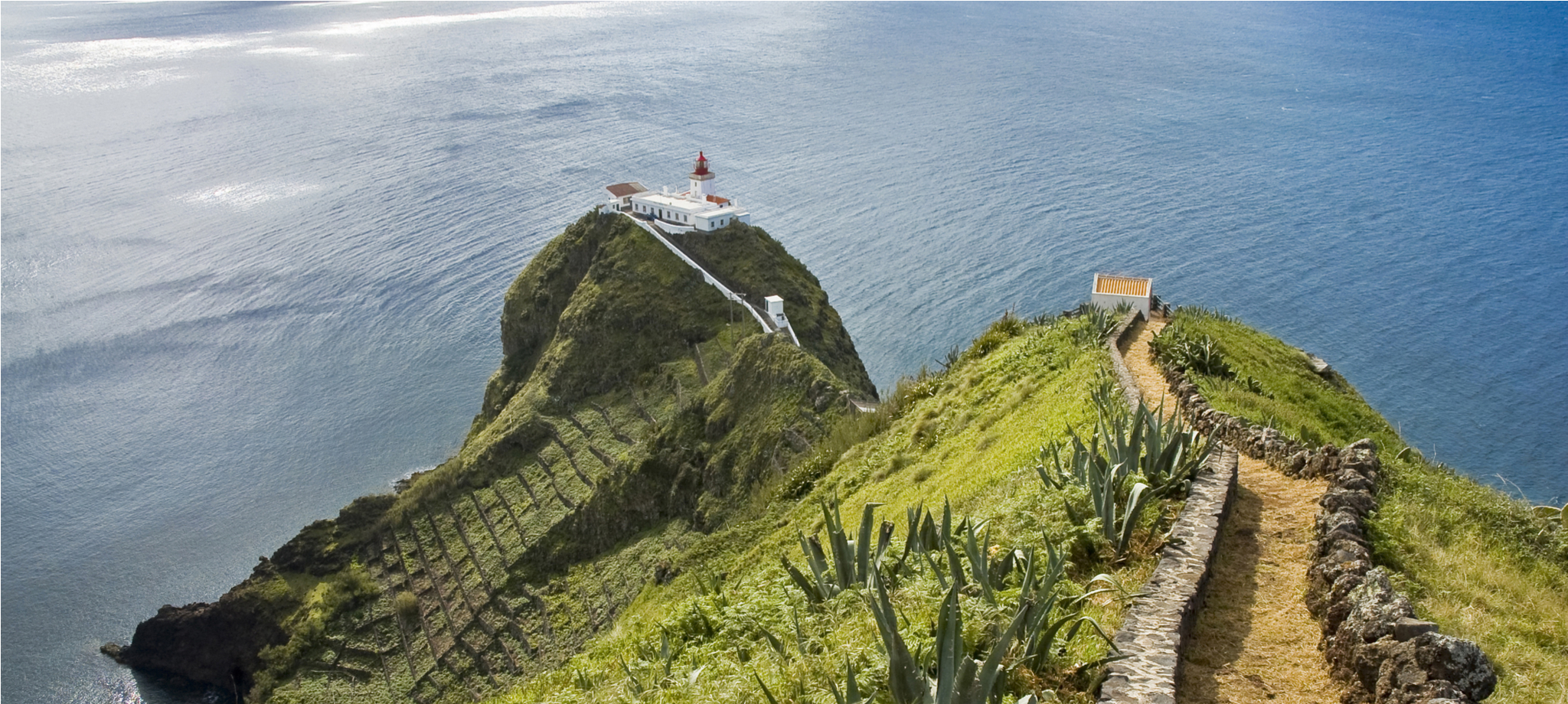
Flores boasts some of the most dramatic landscapes in the Azores, with towering cliffs, deep ravines, and volcanic craters that have evolved into serene lakes.
Volcanic origins and topography
Flores Island developed from a submarine volcano that erupted during the Pleistocene period. The island’s volcanic activity resulted in the formation of small calderas and numerous volcanic cones. After a long dormant period beginning around 200,000 years ago, several young craters and lava flows emerged during the Holocene period. Two significant eruptions occurred about 3,000 years ago, including the creation of the Funda de Lajes tuff ring. This eruption caused lava flows that traveled toward the southeast, shaping the island’s unique terrain.
The island is characterized by deep valleys and high peaks, offering a rugged and dramatic landscape. Morro Alto, the highest point on Flores, stands at 3,000 feet (915 meters) and offers breathtaking views of the island’s lush greenery and volcanic features.
Inactive volcanoes and calderas
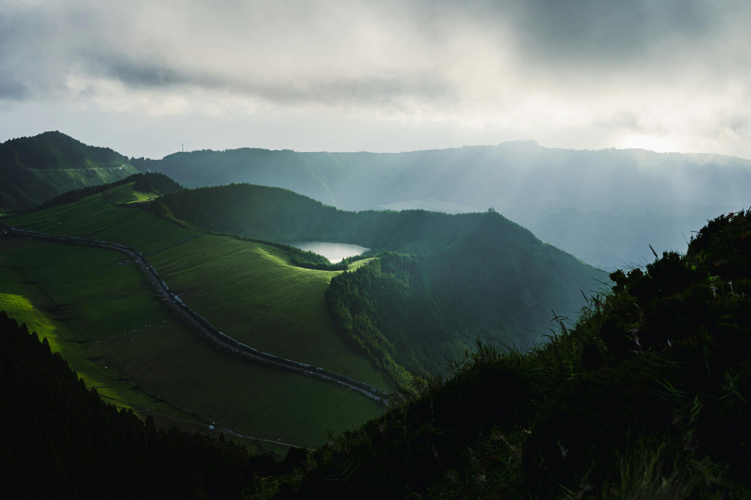
Flores is home to several inactive volcanoes, many of which have calderas (crater lakes) that have collected water over time. These calderas form some of the island’s most beautiful and tranquil lakes. There are seven main lakes on Flores, each with its unique charm and scenic surroundings. The most famous of these lakes include:
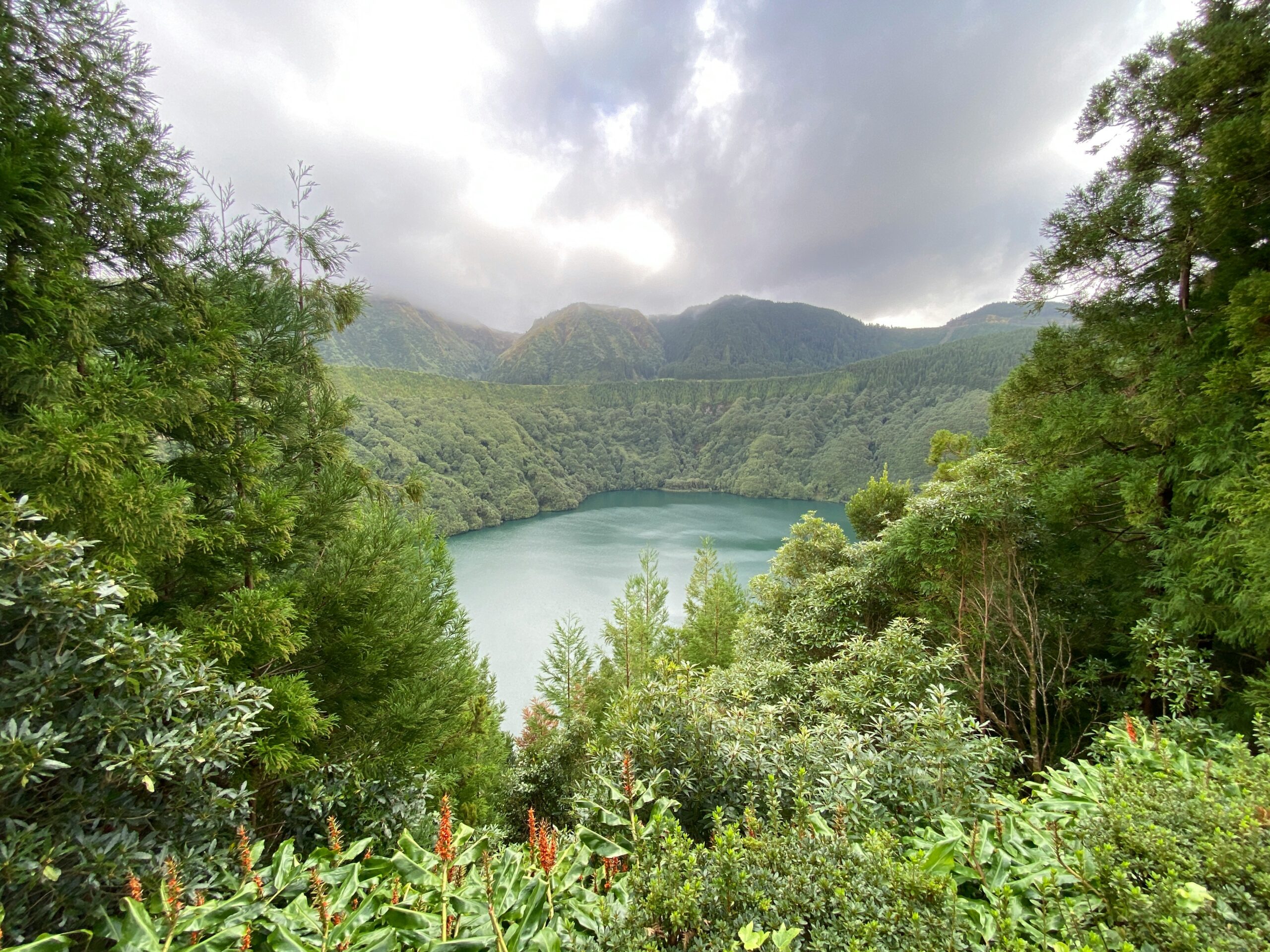
Caldeira Funda das Lajes
This volcano last erupted in 1200 BC and is home to one of the island’s most stunning lakes, Lagoa Funda. It is known for its peaceful, crystal-clear waters, making it a popular spot for nature lovers.
Caldeira Comprida
Another inactive volcano, Caldeira Comprida, last erupted in 950 BC, and its crater is now filled with water, forming a serene lake surrounded by lush vegetation.
These lakes are scattered across the central plateau and are surrounded by dramatic volcanic peaks, offering visitors a chance to explore the island’s volcanic history and natural beauty.
Climate, vegetation and wildlife
Flores Island experiences a mild maritime climate, with moderate temperatures year-round. This climate, combined with the island’s fertile volcanic soil, has led to the growth of lush forests, fields, and an abundance of wildflowers. The island’s name, Flores, meaning “flowers,” was inspired by the wildflowers, especially the hydrangeas, that blanket the island’s hills and valleys.
Flores is also known for its pastures and forests, which cover much of the island. These landscapes provide grazing grounds for livestock and create a peaceful, green setting that makes the island feel like a floating garden in the Atlantic.
Also, Flores is rich in wildlife. You can spot various bird species, dolphins, and even whales.
Check out our tour packages to explore Flores’s landscapes, culture, and its stunning volcanic history.