Faial map and other geography curiosities
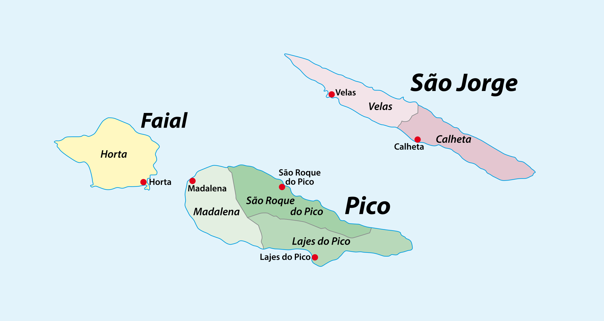
Faial Island is part of the central group of the Azores archipelago. With a surface area of 67 square miles (173.42 km²), Faial is shaped like an irregular pentagon. The island stretches about 13 miles (21 km) in length and has a maximum width of 8.7 miles (14 km), making it one of the medium-sized islands in the Azores. Its population is approximately 15,000 residents, most of whom live in the main city of Horta. Its closest neighbors are Pico Island and São Jorge Island.
Key geographical features of Faial
The island is dominated by the volcanic cone of the Caldeira, a large central crater formed from previous volcanic eruptions. The Caldeira has a diameter of about 1.2 miles (2 km) and a depth of 1,300 feet (400 m), offering stunning views of the island’s interior landscape. The highest point on Faial is Cabeço Gordo, which rises to an altitude of 3,421 feet (1,043 meters), providing panoramic vistas of the surrounding islands of Pico and São Jorge on clear days.
These key geographical features are part of the list of things to see and visit while visiting Faial.
Volcanic origins and eruptions
Faial’s formation is tied to volcanic activity, resulting in a unique and varied landscape shaped by different geomorphologic structures. The island is the westernmost point of Europe, as it sits on the European tectonic plate. By contrast, Flores and Corvo lie on the North American plate.
The Capelo volcanic complex, located on the western part of the island, is the most recent geological feature. The most notable volcanic event in Faial’s history occurred in 1957–1958, during the eruption of Ponta dos Capelinhos. This event dramatically altered the island’s landscape. Initially, a small islet called Ilha Nova formed but quickly disappeared. However, subsequent eruptions created a cone and an isthmus that eventually connected to Faial, expanding the island’s territory by 2.4 km².
Today, Ponta dos Capelinhos is a major tourist attraction, with a lunar-like landscape that offers insight into the island’s volcanic past.
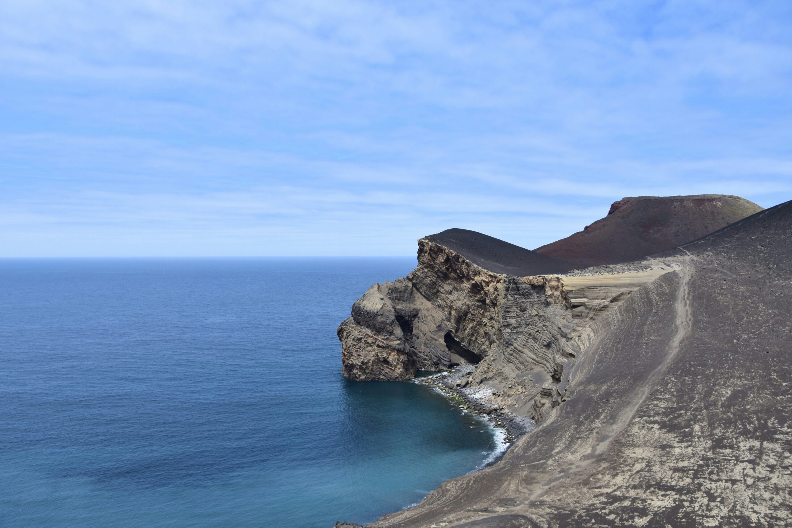
Photo by Yoko Correia Nishimiya on Unsplash
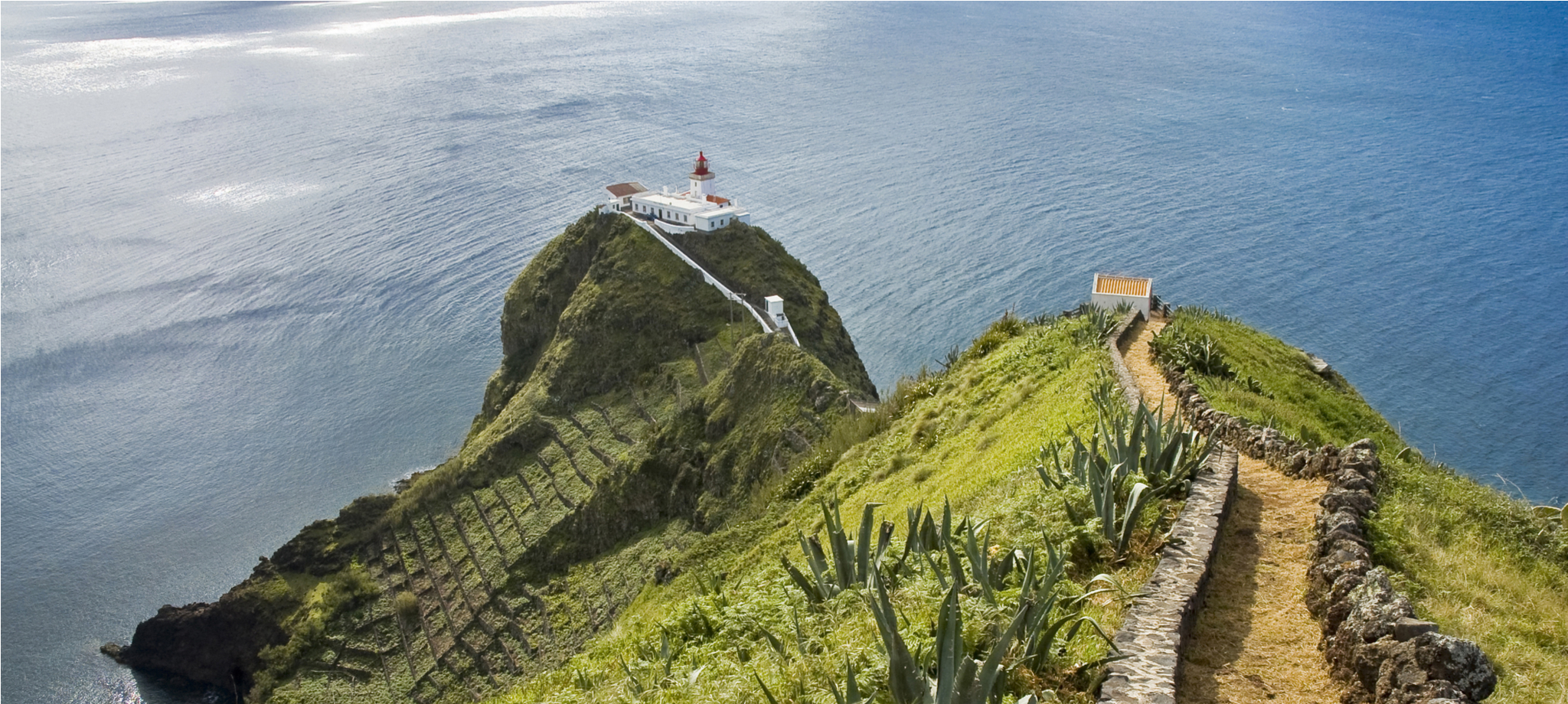
Coastal and oceanic features
Faial’s coastline is characterized by steep cliffs and volcanic formations. In some areas, particularly around Lajinha and Ponta Furada, caves and lava arches create striking coastal scenery where the ocean crashes against the rugged terrain. The port of Horta, a key point for transatlantic travelers, adds a unique maritime element to Faial’s geography, making it a hub for sailors and tourists alike.
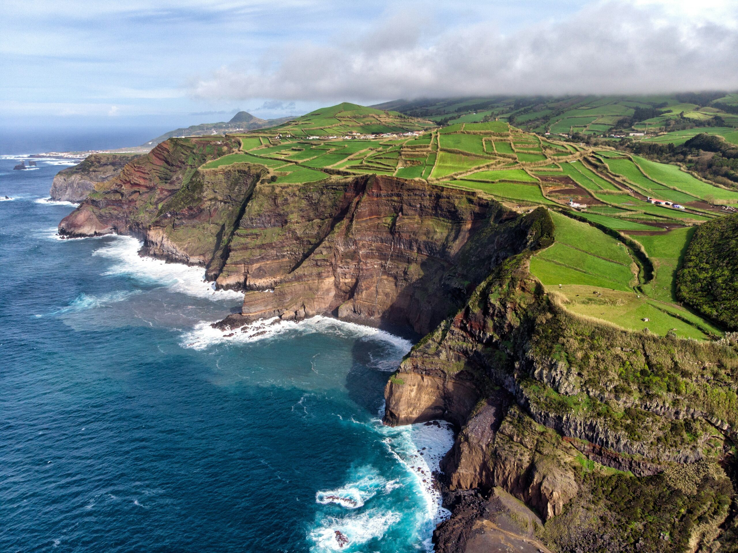
Photo by Yves Alarie on Unsplash
Flora and fauna
Despite its volcanic origin, Faial is incredibly lush, with green pastures, endemic plants, and flowers that add to the island’s picturesque beauty. The hydrangeas that line roads and fields are a defining feature of Faial, contributing to its “Blue Island” moniker. The island’s mild maritime climate encourages a variety of plants and wildlife, with birds, marine life, and rich pastures supporting agriculture and tourism.
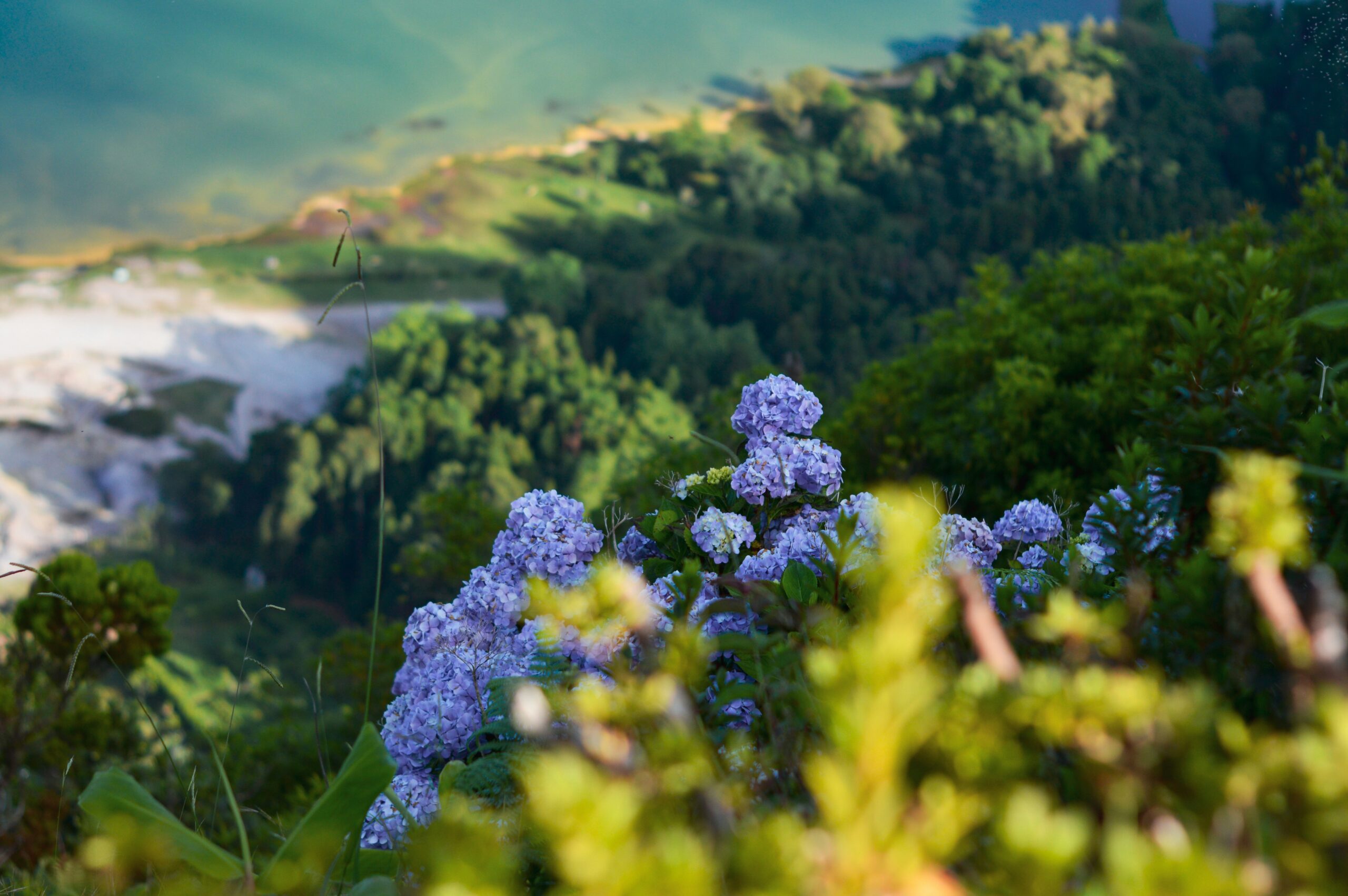
Photo by Rui Silvestre on Unsplash
With its diverse landscapes and vibrant flora, Faial offers a remarkable blend of natural beauty and geological wonders, making it an attractive destination for travelers and nature enthusiasts alike.
Check out our tour packages to explore Faial’s landscapes, culture, and its stunning volcanic history.