Pico Geography: Volcanoes, Landscape & Travel Guide
Portugal’s highest mountain, a long volcanic ridge and basalt coast
Pico Geography: Map, Volcanoes and Regions
Pico is the Azores’ second-largest island: an elongated basaltic landmass dominated by a 2,351-meter stratovolcano, an eastern ridge of cones and lagoons, steep cliffs, lava fields and vineyard coast.
Island facts
Size, Population and Physical Form
Population and access
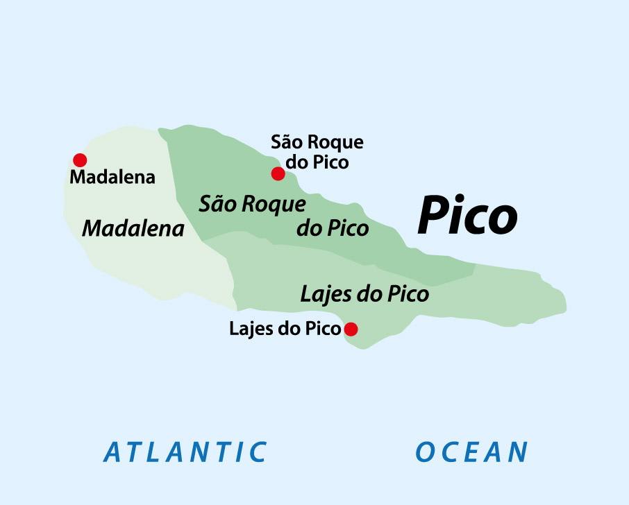
Madalena and the Three Municipalities
Madalena
The largest municipality had an estimated 6,850 residents at the end of 2025. Its western port faces Faial and acts as Pico’s principal ferry and commercial gateway.
Lajes do Pico
The oldest municipal center had an estimated 4,575 residents in 2025 and anchors the southeast, whaling heritage and important marine activity.
São Roque do Pico
The northern municipality had an estimated 3,554 residents in 2025 and contains the principal commercial port, whaling-industry heritage and north-coast settlements.
Triangle setting
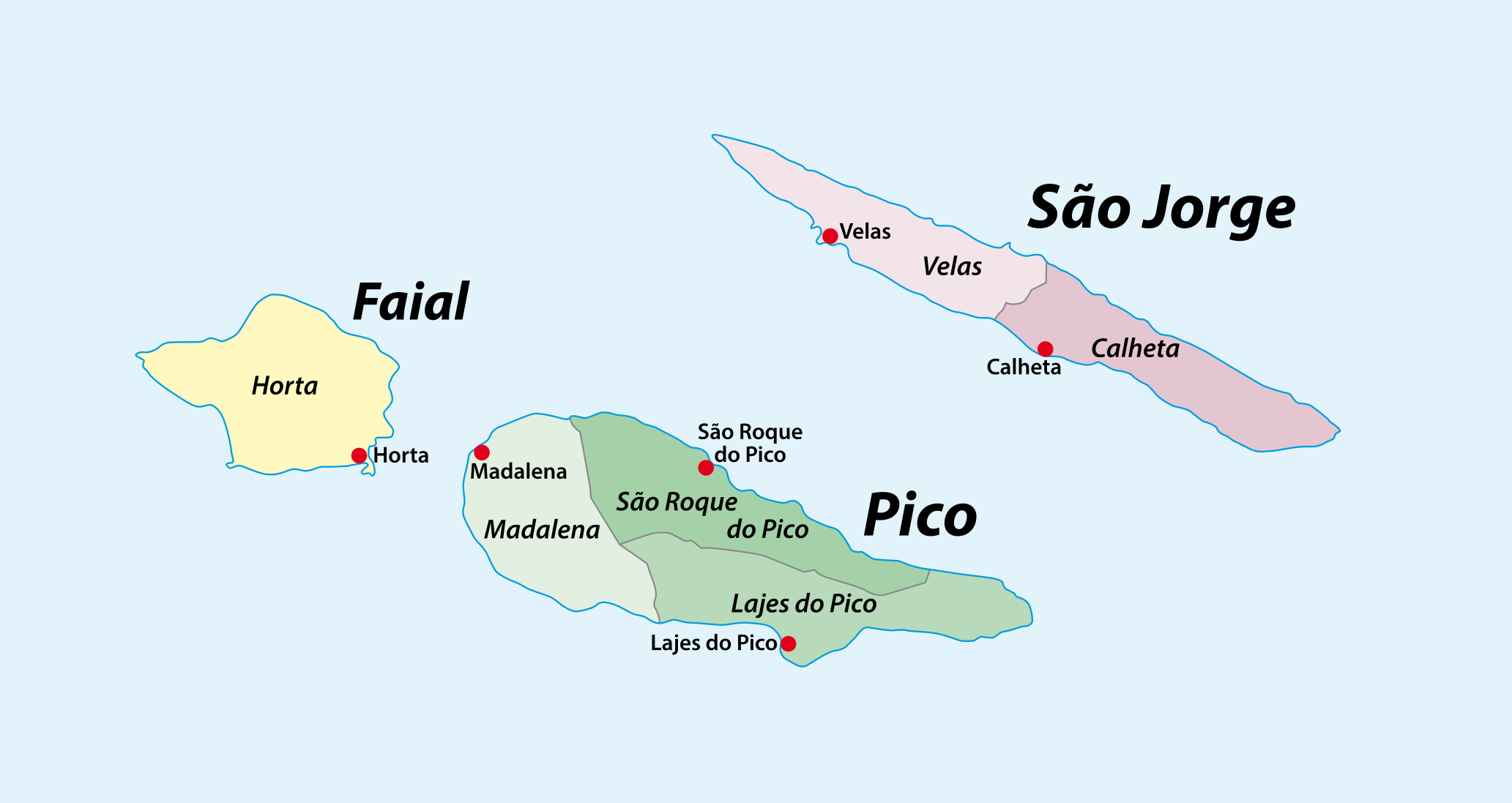
Pico lies about 4.5 nautical miles from Faial and roughly 11 miles from São Jorge. Ferries and marine culture connect the three islands, although schedules remain seasonal.
Dominant volcano
Pico Mountain and the Western Massif
Pico Mountain
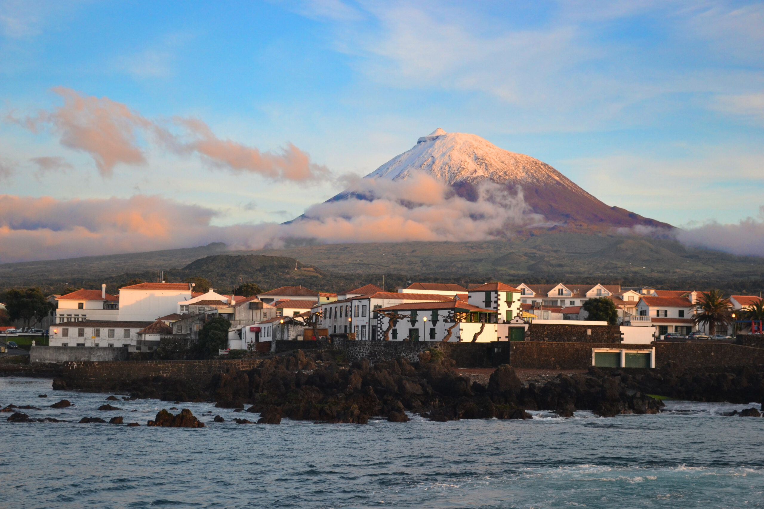
The dormant stratovolcano reaches 2,351 meters (7,713 feet), the highest point in Portugal. Its summit cone, Piquinho, rises above a broad mountain mass visible across the Central Group.
Steep ecological gradient
Conditions shift from warm coast and vineyard country through pasture and cloud belt to exposed, cold summit terrain. The mountain creates powerful local differences in cloud, wind and rainfall.
Lava and secondary cones
Young basaltic flows, cones, cracks and tubes surround the massif. Gruta das Torres formed within the Mountain Volcanic Complex about 1,500 years ago.
Protected summit
The mountain is a nature reserve with regulated access. Vegetation, rock and other natural material cannot be removed or damaged.
Western vineyard coast
Moderate slopes and extensive lava fields around Madalena, Criação Velha and Santa Luzia support the dry-stone vineyard system.
Views and cloud
The summit can be hidden while the coast is sunny, or rise above a cloud layer. Visibility should never be used as the only measure of route safety.
Long island structure
Achada Plateau, Cones, Lagoons and Coast
Achada volcanic ridge
East of the mountain, an elongated fissural ridge carries around two hundred small basaltic cones and about twenty lagoons across Pico’s high interior.
Highland lagoons
Lagoa do Capitão and the Caminho das Lagoas area represent Pico’s wetter plateau. Fog, saturated ground and wind can make the interior feel far removed from the coast.
North and southeast cliffs
High cliffs and rugged shore are especially pronounced along parts of the northern and southeastern coast, interrupted by ports, coves and volcanic bathing areas.
Lajidos and biscoitos
Local landscape terms distinguish smoother lava fields, or lajidos, from rougher terras de biscoito. Both help explain Pico’s Gray Island identity.
Natural pools
Lava meeting the Atlantic created basins and inlets later adapted as bathing areas. They remain open-ocean environments affected by swell.
Vineyard walls
Thousands of basalt partitions form currais that shelter vines from wind and seawater, turning geology into a working cultural landscape.
Living landscape
Flora, Fauna, Farming and Marine Life
Native vegetation
Mosses, ferns, heath, juniper and other native or endemic plants occupy protected, wet and less disturbed habitats, especially at elevation.
Pasture and dairy cattle
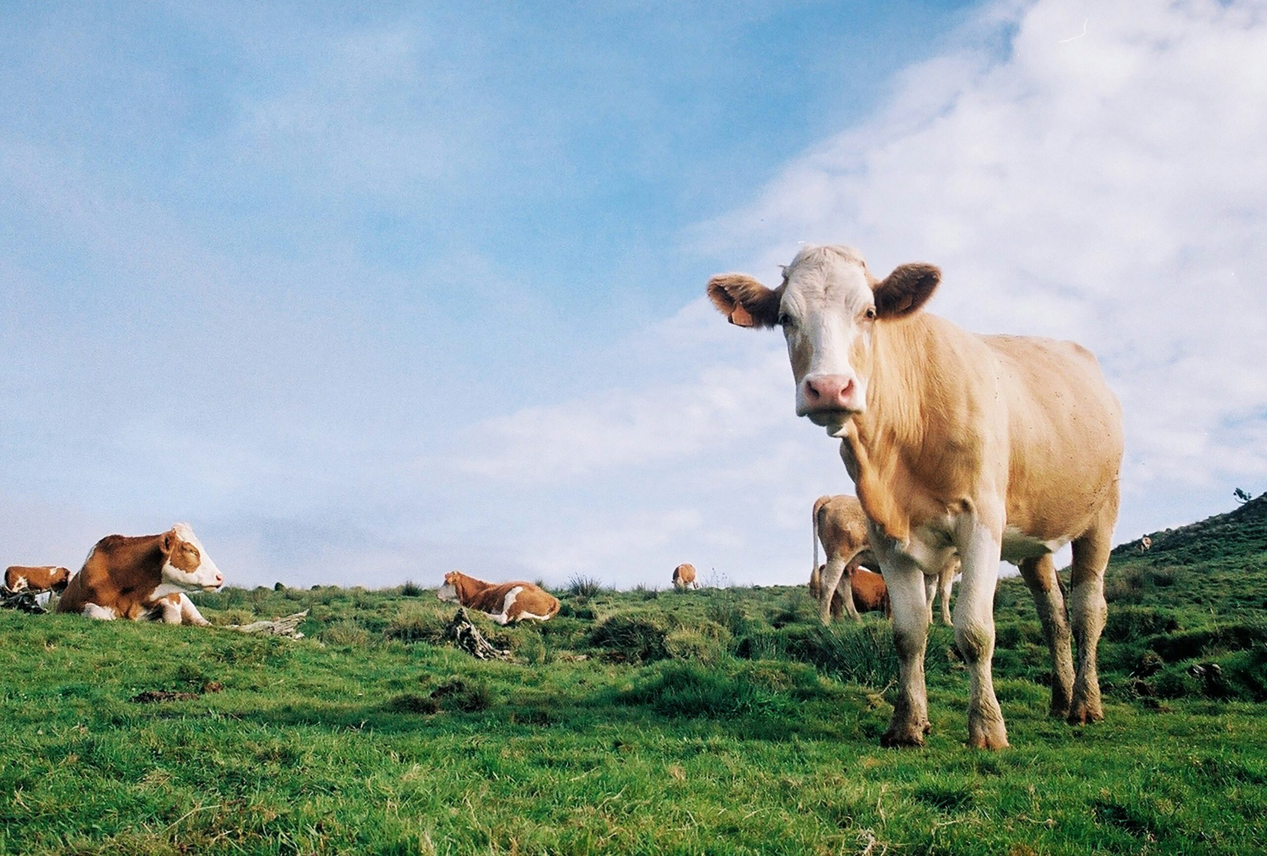
Cows graze Pico’s green fields and support milk and cheese production, an important part of the island economy beyond wine and fishing.
Fruit and vines
The warmer, drier lava coast supports vineyards, figs and other orchard crops where soil, shelter and careful management permit.
Birdlife
Resident, migratory and seabird species use pastures, lagoons, cliffs and coast. Observe without approaching nests or leaving authorized routes.
Whales and dolphins
Deep Atlantic waters and productive channels support diverse cetaceans and fish, underpinning modern observation, diving and fishing activity.
UNESCO landscape
The 987-hectare World Heritage property and 1,924-hectare buffer protect the best surviving expression of Pico’s historic vineyard system.
Plan well
Practical Pico Geography Tips
Use zones, not one loop
Divide the island into western vineyards and Madalena, north-coast São Roque, eastern highlands and south-coast Lajes.
Expect microclimates
A clear harbor does not predict the summit, plateau or opposite coast. Carry layers and check more than one forecast or camera.
Protect the maps
The island and Triangle maps are orientation aids, not live navigation, trail-status or ferry-schedule tools.
Respect working walls
Do not stand on currais, move stones or enter vineyards without permission; damage threatens farming and heritage.
Watch cliff exposure
Use designated viewpoints and bathing entries. Black rock can hide drop-offs and Atlantic surge.
Allow distance
Forty-two kilometers, narrow roads and repeated stops make end-to-end sightseeing slower than the map suggests.
Questions travelers ask
Pico Geography FAQ
How large is Pico Island?
Pico covers about 447 square kilometers, stretches about 42 kilometers and reaches roughly 15.2 kilometers at its widest point.
What is the highest point in Portugal?
Pico Mountain reaches 2,351 meters and is the highest point in Portugal.
How many people live on Pico?
The official 2025 resident-population estimate was 14,979 across Madalena, Lajes do Pico and São Roque do Pico.
Why is Pico called the Gray Island?
The name reflects its extensive black and gray lava fields, basalt vineyard walls, stone buildings and volcanic mountain landscape.
Which islands are closest to Pico?
Faial and São Jorge are the closest major neighbors and join Pico in the Central Group’s Triangle Islands.
Build a practical island stay
Plan Your Pico Vacation
Azores.com can coordinate lodging, transportation, mountain or marine activities and enough flexibility for Pico’s fast-changing Atlantic conditions.